Zuid-Holland Climate Impact Atlas
The climate is changing, also in the province of Zuid-Holland. Over the next 20 years, climate change will have a substantial impact on the Zuid-Holland living environment. The Zuid-Holland Climate Impact Atlas visualises the effects of climate change. The Atlas will be used for, e.g., drawing up the Environmental Vision for Zuid-Holland.
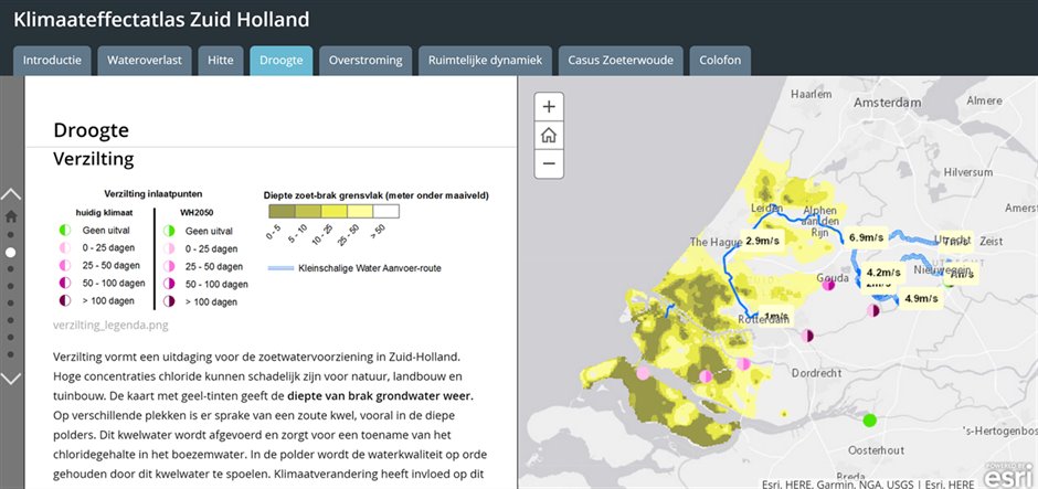
The province of Zuid-Holland has commissioned the Climate Adaptation Services foundation to develop the Climate Impact Atlas, in collaboration with other parties such as the Royal Netherlands Meteorological Institute KNMI, to map out the effects of climate change (wetter, drier, hotter), and soil subsidence in Zuid-Holland. The Atlas has been designed in the form of a Story Map, and comprises existing maps and studies.
According to the Atlas, the extreme temperatures for the Rotterdam KNMI station will rise more sharply than the average temperatures, with potential peaks of up to 40 degrees in the worst-case scenario. In addition, the Atlas immediately reveals that the greater part of the province of Zuid-Holland has been affected by one or more severe downpours over the past ten years.
The Zuid-Holland Climate Impact Atlas also addresses the spatial dynamics, such as housing issues, that affect the opportunities and limitations involved in the implementation of climate adaptation.
The Atlas is freely available to other (government) parties to support their policies. The Atlas can be found on the website of the province of Zuid-Holland and will be updated on a regular basis.
Contact person
Erik de Haan
Province of Zuid-Holland
070-4417623
er.de.haan@pzh.nl