Geuldal natural climate buffer
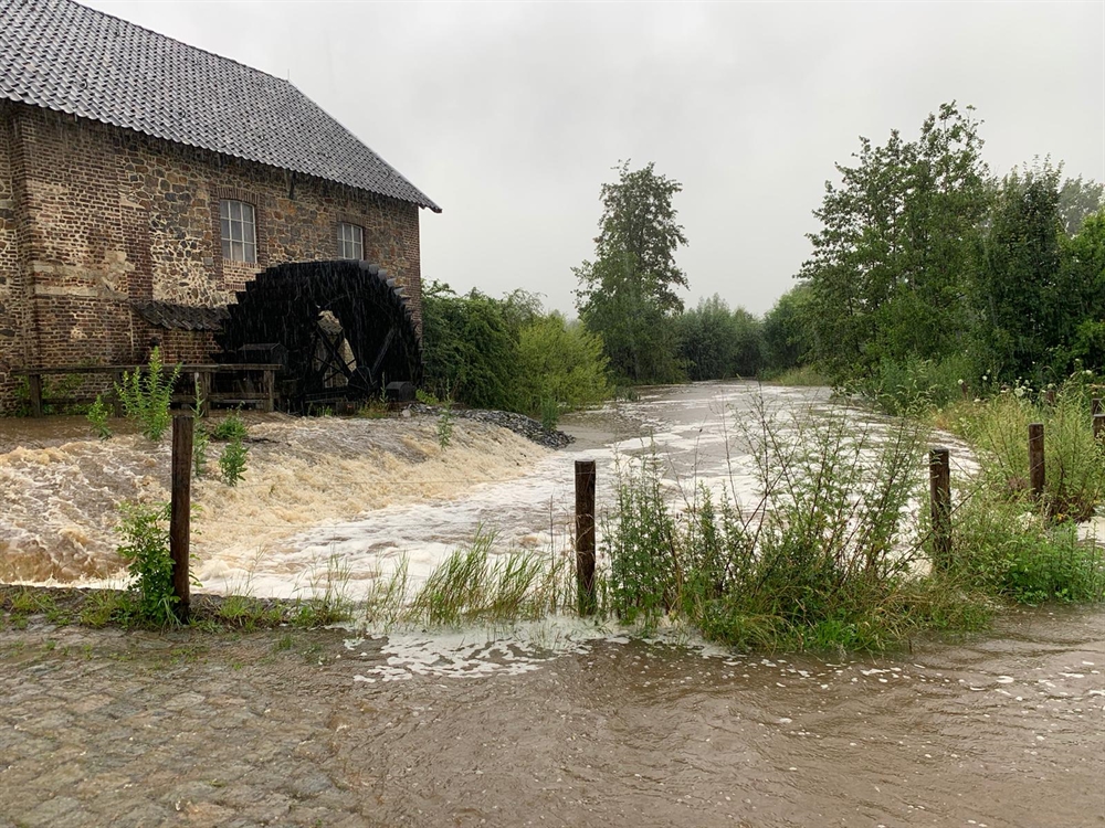
In 2021, large parts of Limburg, Belgium, and Germany were flooded following extreme downpours. Natuurmonumenten nature conservation organisation commissioned Bureau Stroming to explore what had caused the high water levels and what natural measures would offer the best options for combating future flood issues. The study focused on the Geuldal valley, which saw large volumes of rain during the floods.
What has been studied?
The following three questions have been explored:
- How much rain fell in the Meuse basin between 13 and 16 July 2021, and what proportion ended up in the brooks at what time?
- How have soil composition and land use affected the high water levels?
- At times of extreme rainfall, how can various natural measures slow down water drainage? An example of such a natural measure is the restoration of lynchets. Lynchets – mini terraces on a slope covered in shrubbery – stem the flow of water. Another measure is creating more room for brooks to meander, which slows down the current. Tree trunks and branches in the brooks can help to slow down the stream.
Soil plays an important part
Nearly the entire Meuse basin saw some 15 cm of precipitation, with hardly any difference between the various catchment areas. The study revealed that the volume of water being retained is largely determined by the type of soil and the thickness of the soil. The Dutch part of the Meuse basin is largely composed of thick loess and gravel soil, capable of absorbing a great deal of water. As a result, some 80 per cent of the rainwater that fell in the Netherlands has been retained in the soil. Until the end of the spell of rain, the soil continued to absorb large volumes of water nearly everywhere. This proved the soil sponge effect to be adequate. More details are provided in the study report.
What natural measures are effective?
By reference to five indicators, Bureau Stroming conducted a qualitative study into potentially effective natural measures. The natural measures were derived from the vision document drawn up in 2019 by nature conservation organisations Limburgs Landschap, Staatsbosbeheer, ARK Natuurontwikkeling, and Natuurmonumenten: Een klimaatrobuust Geuldal [A climate resilient Geuldal valley]. Each indicator is linked to certain effective measures, one of which will be specified here:
- Maximum use is made of the soil water absorption capacity. For example, converting slope farmland into herbaceous grassland will boost the capacity of the soil to absorb rainwater.
- Water flowing down through the soil must remain in the soil for as long as possible. For example, water drainage can be slowed down by removing drainage pipes from grassland, forest areas, and slopes.
- Water flowing down above ground is slowed down in order to foster infiltration. For example, developing forests in the vicinity of springs will slow down the drainage of well water and ensure that water can still infiltrate the ground.
- Water collecting at the bottom of a slope is slowed down wherever possible before it reaches the brook. For example, water flowing down above ground can be slowed down by creating herbaceous grassland in dry valleys rather than cultivating farmland.
- Water that ends up in the brook will be given room to flow into the valley plains. The valley plains collect or temporarily retain the water. During high water levels, the brook must be allowed room to overflow. This precludes, for example, the construction of embankments.
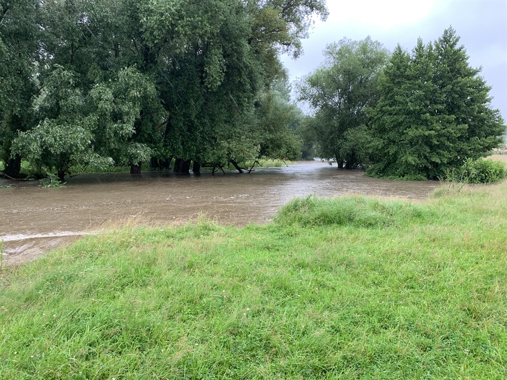
What part did the Geuldal valley play during the floods?
The study pointed to the Geuldal valley as the main climate buffer. In the Dutch section, the valley tends to be hundreds of metres wide. During the highest water level, nearly a thousand hectares of land was flooded. As a result, approximately half of the flowing rainwater could be collected and slowed down. A total of 80 to 85 per cent of the rain that fell in the Dutch section of the Geuldal valley has been retained in the soil. Trees and plants slowed the water down, whereupon it was absorbed into the soil. Natural land use boosted its absorption. Without the buffering effect of the Geuldal valley, water levels in Valkenburg and Meerssen would have risen considerably higher. Furthermore, the study produced the following conclusions:
- A soil’s water retention capacity mainly depends on its type and its thickness. Part of the Geuldal valley is composed of sand and loess, which easily absorb water. However, other parts feature loamy soils with a very poor water absorption capacity. In addition, the water retention capacity of a soil is usually proportionate to its thickness.
- The manner in which land is used largely determines whether rainwater will drain away immediately or whether it will be retained for a longer period of time. For example, roads will not absorb water, whilst fields of maize absorb little water. Deciduous forests, on the other hand, absorb a great deal of water.
What adaptation measures have already been implemented in the Geuldal valley?
In 2021, ARK Natuurontwikkeling cleared old drainage pipes on Natuurmonumenten territory between the Belgian border and the Limburg village of Mechelen, along the river Geul and its branches. The operation involved nine kilometres of pipes in approximately 53 hectares of grassland. In the old days, the pipes served to quickly drain water in order for the wet grassland to be used for farming. The grassland areas are now nature reserves and allowed to grow wetter once again.
Contact person
André Hassink
Natuurmonumenten
a.hassink@natuurmonumenten.nl