Regional process enhances both nature and agriculture in and around Lauwersmeer lake
In the Lauwersmeer regional process, nature conservation organisations and farmers are collectively working on climate proofing the Lauwersmeer region in order to secure the freshwater supply for nature reserves and farmland. For a long period of time, widely divergent nature and agriculture interests appeared to preclude efficient collaboration. Yet it turned out that the development of resilient nature and a future for agriculture in this area could go hand in hand after all. How? This is what the Lauwersmeer Perspective initiative group has elaborated in a joint perspective document.
Agricultural issues
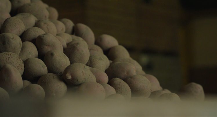
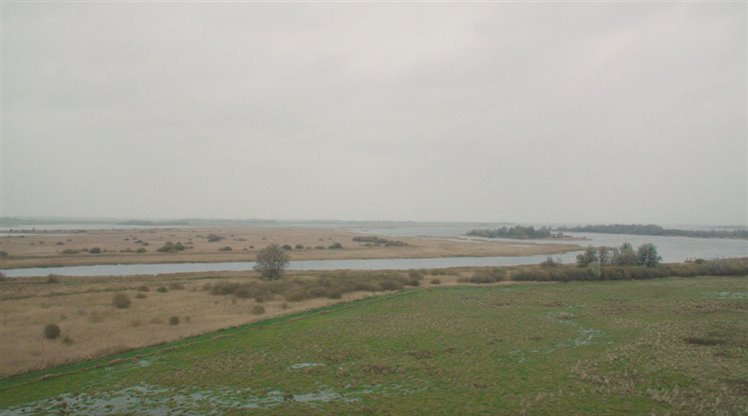
Some forty farms are situated around Lauwersmeer lake. The farmers grow their crops in a freshwater bubble: soil containing freshwater located atop a saline subsoil. As yet, this is an ideal situation for their crops. Due to the growth of high-quality seed potatoes, in particular, this area constitutes one of the most important agricultural areas in Europe. However, soil subsidence and the rising sea level are driving up the pressure of saltwater seepage, as a result of which the freshwater bubble is likely to grow thinner. This poses the risk of crop roots and surface water becoming brackish. Salinisation not only affects the crops, but also the structure of the actual clay soil. A brackish clay soil is no longer suitable for farming.
Nature issues
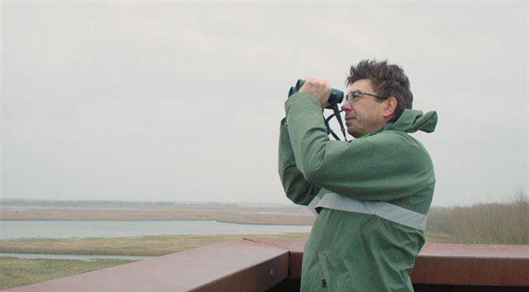
Lauwersmeer lake is a breeding ground for a wide range of fish species, some of which migrate to the other side of the world. Fish eating birds also depend on the young fish. However, regional nature is in jeopardy. In the current Lauwersmeer lake situation, migratory fish are faced with major obstacles. For example, passage of the R.J. Clevering sluices near Lauwersoog is difficult. Furthermore, the sluices constitute a transition between a freshwater body and a saltwater body. Fish have difficulty coping with such a transition. This calls for a brackish transitional zone, as existed prior to 1969, when the Lauwers Sea was closed off from the Wadden Sea. Under the European nature network Natura 2000 and the European Water Framework Directive, the Netherlands is required to improve the natural environment in and around areas such as Lauwersmeer lake. Under the Dutch Major Waters Programme Strategy (PAGW), funds have been allocated to achieve this.
How has the joint perspective document been developed?
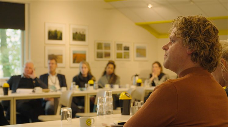
A series of intensive meetings of the Lauwersmeer Perspective initiative group has revealed that both agriculture and nature can be enhanced by turning Lauwersmeer lake once again into a wide freshwater-saltwater mixing zone. This requires sufficient fresh water. In a joint perspective document, the initiative group has elaborated how Lauwersmeer lake can be rendered climate resilient. To this end, it has outlined the current situation, drawn up long-term plans, and used these to explore short-term options. All the government bodies and parties in the Lauwersmeer region support the perspective document. The initiative group advises the regional parties on how to pursue an interconnected strategy to realise the perspective.
Silvia Mosterd: “A climate-resilient Lauwersmeer region requires a year-round supply of freshwater and a good freshwater-saltwater mixing zone. Increasing salt intake in Lauwersmeer lake is feasible, provided you are well aware of its impact. We have gained this insight on the basis of an efficient dialogue, trust, and knowledge on what is required to render Lauwersmeer lake climate resilient.”
What are the short-term plans?
The paragraphs below outline the short-term measures that are planned.
Water measuring system
A more extensive salt content measuring system is being developed, covering both the lake and the surrounding land. The measurement data is used to build a database, which will be helpful for making long-term choices. For example, what locations in the lake contain saltwater and at what depth? Currently, this is only measured at one location and at a single depth. The plan is to scatter measuring points across the entire lake and at multiple depths. These will generate insight into the effect of management measures and into seasonal differences.
Land measuring system: more efficient mapping of salinisation
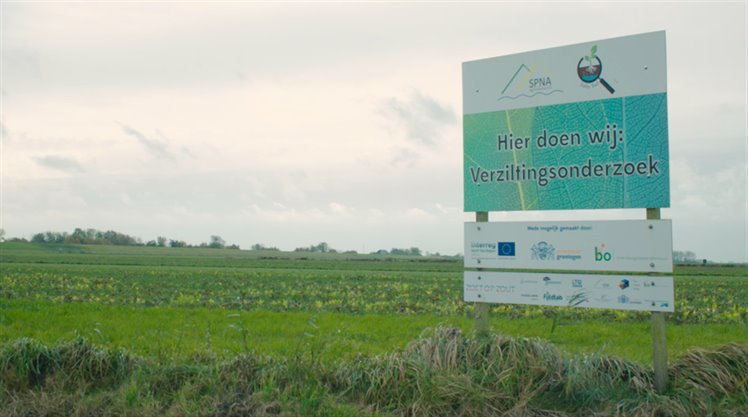
Land measuring points will be added to the salt content measuring system in the lake. Furthermore, a project is already under way, entitled Boeren Meten Water [Farmers Measuring Water], in which farmers and water management bodies are collectively working on monitoring and water management. In addition, in the years ahead, measurements will be conducted to gain more insight into the salinisation of coastal areas. Insight into the risk of salinisation is sorely needed: how large is the freshwater bubble? How deep is the saline groundwater and where does it come from? Where exactly does freshwater end and saltwater begin? Such knowledge helps to determine which, where, and when measures will be required.
Increased fish-friendly drainage
The short-term improvement of water quality calls for improving fish migration. Based on the insights gained in this project, the working group recommends an expansion of fish-friendly drainage by gravity. In the purview of the breeding ground function of Lauwersmeer lake, it would be advisable to pursue fish-friendly drainage all year round rather than in spring only.
Enhancing freshwater bubble
According to the working group, it is important for government authorities to continue to invest in research into technological options for enhancing the freshwater bubble at the regional, local, and industrial levels. The invention of an efficient system to this end would benefit coastal areas all over the world, which are faced with increased salinisation due to sea level rise.
What is the long-term plan?
The working group has also developed a long-term vision. The paragraphs below outline the measures contained in this vision.
Transitional zone between lake and Wadden Sea, with freshwater drainage and saltwater intake
Climate change will result in increased precipitation. Increasingly frequently, large volumes of water will need to be discharged quickly. However, on account of the rising sea level, discharging such water to the sea via a natural flow will be increasingly difficult. In part, we will need to revert to pumping stations to resolve this issue. The working group proposes the design of a pumping station that enables a regulated interface between saltwater and freshwater. Such a pumping station needs to work both ways: freshwater discharge and saltwater intake. The pumping station will be controlled via a monitoring network comprising measuring points in Lauwersmeer lake, in the natural environment on land, and in farmland areas. Targeted control will enable the formation of a range of zones with gradual transitions.
Improving fish migration in and around the lake
The short-term measures involve an expansion of fish-friendly drainage. For the longer term, the plan is to improve fish migration in the hinterland around the lake.
Water buffers in lower-lying parts
Initially, farmers were concerned that the connection between the Wadden Sea and the Lauwersmeer area would lead to irreversible salinisation of their farmland. This concern has proven unnecessary: the point of departure for nature restoration under Natura 2000 and the Water Framework Directive is a gradual transition between saltwater and freshwater. The south side of Lauwersmeer lake needs to have freshwater, as it connects to inland waterways. In the long run, this can be accomplished with local-level, regional-level, and national-level water buffers. The water buffers store rainwater during wet periods, to be saved for dry periods.
Nature benefits from saltwater increase in northern part
An increased saltwater intake in the northern part of Lauwersmeer lake would be extremely helpful for nature managing bodies. Currently, they have the area grazed in order to slow down woodland growth and to preserve extensive reed land. Salt will prevent the germination of tree seeds and cause trees to die. This will make it easier to preserve the nature that is essential for the birds and other animal species in the transitional zone between saltwater and freshwater.
Lessons to be learned
For years, the area has been the topic of a legal controversy regarding water and nature. The stakeholders did not want to continue this battle and another route was needed. The perspective for a climate resilient Lauwersmeer area could be developed because local people have stuck their necks out to discuss the possibilities.
Chairman Titian Oterdoom on behalf of the initiative group: “This is a regional process in anticipation of the regional processes to be initiated under the National Programme for Rural Areas. Government authorities are challenged to pursue an integrated strategy to address the combined taskings involved in climate proofing Lauwersmeer lake. At times, this may feel awkward for the collaborating government authorities, but it is a wonderful opportunity to consider, from a regional perspective, what a climate resilient Lauwersmeer lake entails and how we can achieve this.”
Contact person
Silvia Mosterd
Waterschap Noorderzijlvest
s.mosterd@noorderzijlvest.nl