NA Photo Bank
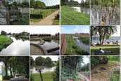
The NA photo bank features an overview of photos pertaining to spatial planning and climate adaptation. The photos provide a picture of climate damage caused by, e.g., pluvial flooding, river flooding, erosion, drought, heat stress, and fire hazards. Inspirational photos provide examples of climate adaptation for your city or area. Bloopers make painfully clear what can go wrong if a sectoral approach is adopted, or if the area or the problem is not quite understood.